Today in our book column, we feature another book from Kharkiv—this time published in 1891—titled “The Current State of Research on the Origin of the Sloboda-Ukrainian Steppe.” At first glance, the book might seem to be of interest only to narrow specialists in geography and soil science. However, the author, A. Krasnov, highlights an intriguing geographical aspect concerning the interpretation of the borders between Sloboda Ukraine and Ukraine, specifically as understood by 19th-century scholars (rather than politicians). And these interpretations varied.
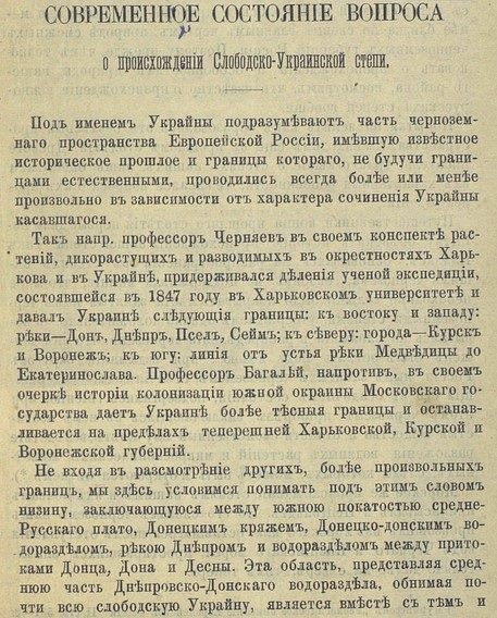
In his notes on plants, both wild and cultivated around Kharkiv and throughout Ukraine, adhered to the classification established by the scientific expedition conducted in 1847 at Kharkiv University and defined Ukraine’s borders as follows: to the east and west: the Don, Dnieper, Psel, and Seim rivers; to the north: the cities of Kursk and Voronezh; to the south: a line from the mouth of the Medveditsa River to Yekaterinoslav. Professor Bagaley, on the other hand, in his essay on the history of the colonization of the southern periphery of the Muscovite State, assigns Ukraine narrower borders, limiting them to the territories of the present-day Kharkiv, Kursk, and Voronezh governorates.
You can download and read the book here:

- The Architectural Evolution of the Kharkiv Theater - 26.09.2026
- 1st Kharkiv Gymnasium - 17.09.2026
- The Oldest Movie Theater in Ukraine - 24.08.2026