In 1843, a handwritten atlas was published: “Maps of the Provinces Under the Jurisdiction of the First Department of State Property, with an Appendix of Brief Statistical Reports.”
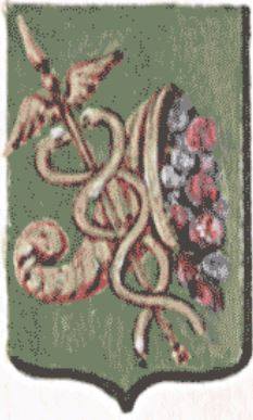
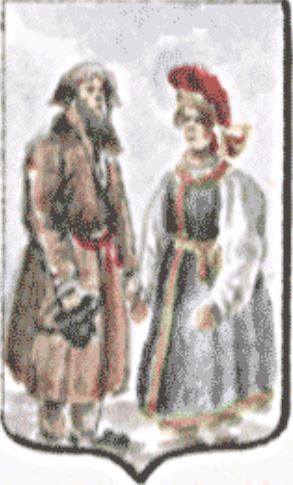
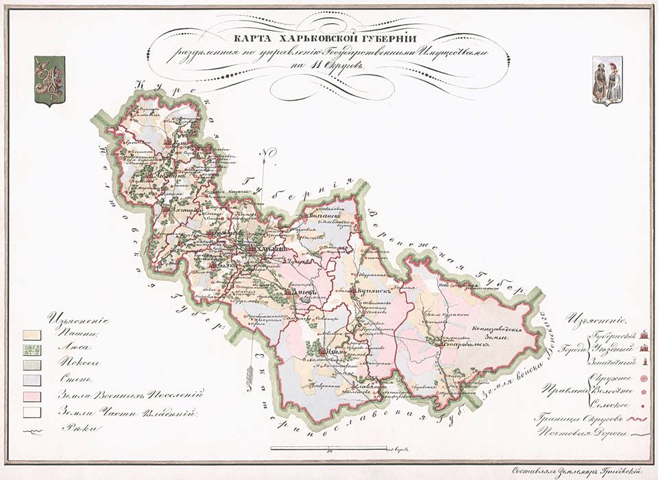
The maps were compiled under the direction of Gribovsky, the chief surveyor of the Russian Empire. The atlas itself consisted of 33 sheets measuring 24 × 32 cm. Each map featured the province’s coat of arms and an illustration of traditional folk costumes. Here is what made this publication unique for its time.
As an appendix broken down by province, the following lists were compiled: the number of districts, volosts, rural communities, state peasants, “land owned by them,” and state-owned forests.
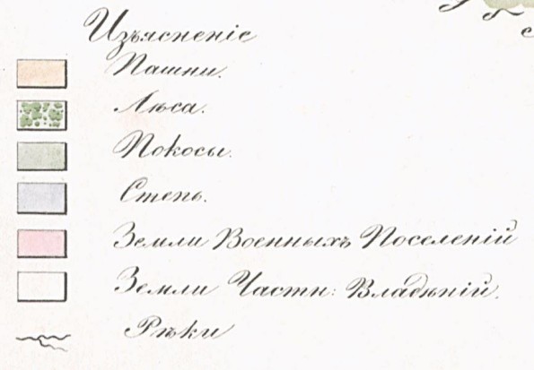
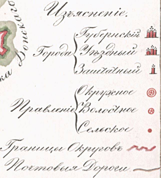
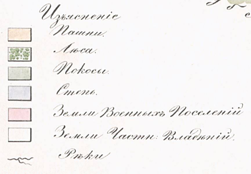
The maps also included detailed “legends.” The scales vary, and the rulers are marked in versts. What did the Kharkiv Governorate look like in this magnificent edition?)

- About the military pilot school and the airfield in Kharkiv… - 04.11.2020
- Nikanor Savich—A Political Career by Mistake - 13.07.2020
- And once again, about the Cavalry Guards… - 21.01.2020