Back in 1830, Konstantin Matveyevich Gribanov created a unique set of geographical playing cards.
A distinctive feature of this deck was its “back” (reverse side), which depicted a map of the province.
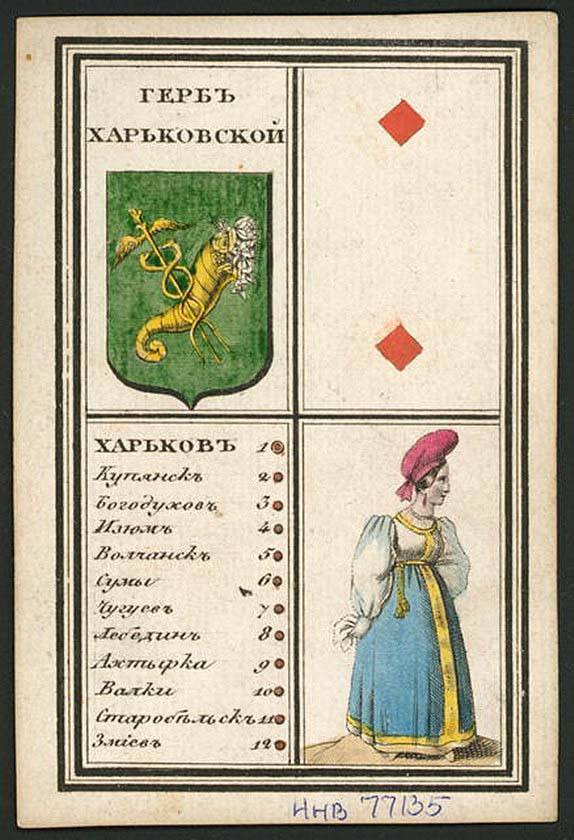
The front of each card was divided into four sections and contained:
- the name and coat of arms of the province
- suit symbol on a playing card
- A list of the province’s largest cities, with a serial number corresponding to their designation on the map on the reverse side
- A depiction of a person in the province’s traditional attire. In most cases, it was a woman in a national costume
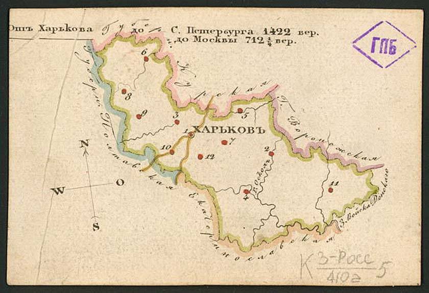
The deck itself was non-standard, as it consisted of 60 cards (a standard deck has 52 cards). The cards were intended for children’s games and were educational in nature.
What we find particularly interesting about these maps is that:
- The province is represented by a pair of tambourines.
- On the map, you can see the Kharkiv national costume, which features a woman from Sloboda Ukraine.
So, as we can see, even in the 1830s, yellow and blue were in style among our population.

Genealogist, founder of the "Alluring Kharkiv" Foundation and the "Kharkiv History Night" project
Latest posts by Anton Bondarev (see all)
- About the military pilot school and the airfield in Kharkiv… - 04.11.2020
- Nikanor Savich—A Political Career by Mistake - 13.07.2020
- And once again, about the Cavalry Guards… - 21.01.2020