Many Kharkiv residents remember the “Lastochka” motorboat. This small pleasure boat operated from the second half of the 1990s through the first half of the 2000s on a limited route in the city center, confined by a weir and bridges. However, navigation in the Sloboda Ukraine region began much earlier. As far back as the 17th century, the Siverskyi Donets River and its tributaries were navigable all the way to Belgorod and were actively used to transport goods and people.
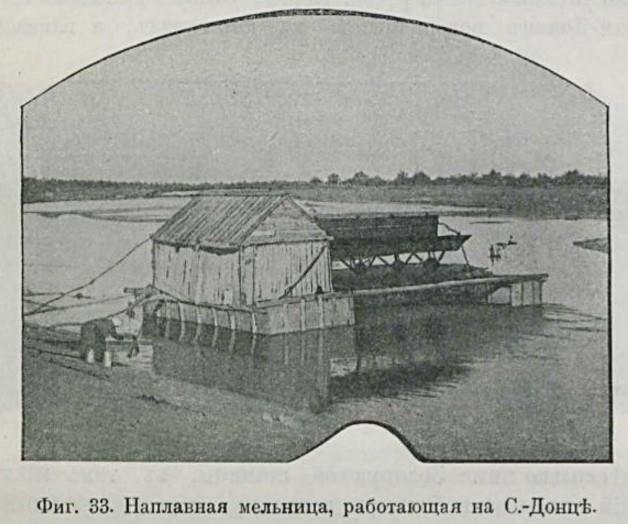
By the mid-18th century, the Siverskyi Donets had become shallower—a development significantly “contributed to” by human activity—as dams and water mills had made the river impassable to ships.

The rapid development of industry, coal mining, and salt production in the Donbas during the second half of the 19th century raised the question of restoring navigation on the Siverskyi Donets. Transporting cargo by river would have been three times cheaper than by rail. In 1903–1904, hydraulic engineer Nestor Puzyrevsky conducted a detailed study of the Siverskyi Donets and proposed a comprehensive plan to construct a system of locks and deepen the riverbed in order to resume navigation.
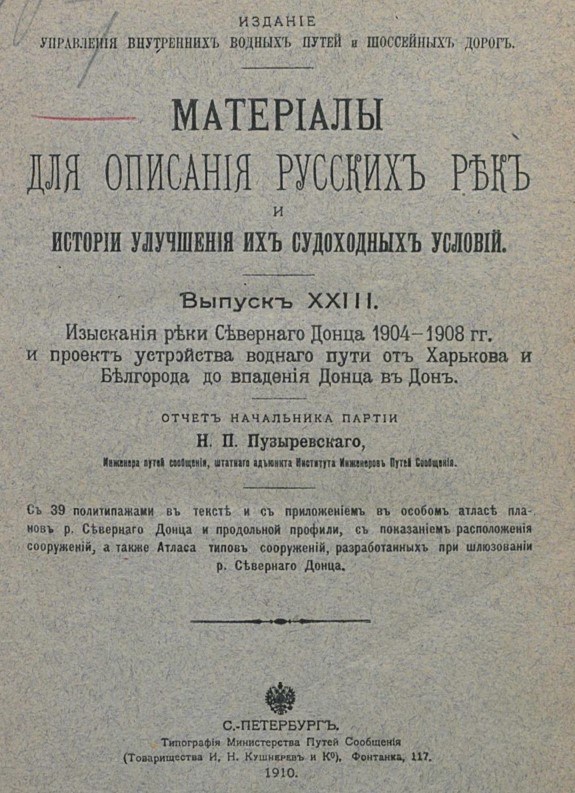
According to the calculations, it was necessary to build 33 locks and two harbors—in Kharkiv and Belgorod. The project called for widening the riverbed near these cities. In Kharkiv, the harbor was to serve as a transshipment point connected by a railway branch line to the Kharkiv-Balashovskyi station (now the Kharkiv-Slobodskaya station). According to Puzyrevsky, the Kharkiv harbor was to play a major role in Kharkiv’s trade with the river ports on the Siverskyi Donets and the Don.
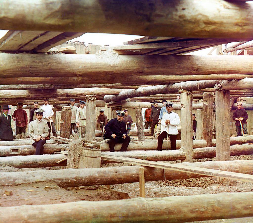
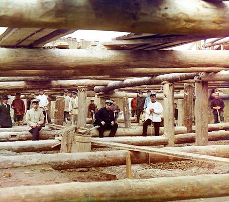
Incidentally, there are still color photographs of Nestor Puzyrevsky that were taken by Sergei Prokudin-Gorsky, one of the pioneers of early XX century color photography. According to the project, barges were to be towed along the Siverskyi Donets River; these barges could have been 90 meters long, 13–14 meters wide, and had a draft of 1.7 meters.
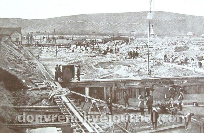
The most surprising thing about this project was that it wasn’t forgotten—it actually began to take shape. Significant funds were allocated for the construction of the first phase of the lock system, and as early as 1911–1914, six locks were built from the mouth of the Siverskyi Donets to the village of Gundorovskaya (now the small city of Donetsk in Rostov Oblast, Russia). The second phase of construction was intended to make the Siverskyi Donets navigable as far as Lisichansk, and the third phase, as far as Izyum.
Unfortunately, World War I and the turmoil of the revolution derailed these plans. During the Soviet era, the project was forgotten, and only the first section of the locks was maintained in working order. Today, it is very dilapidated and is used nowhere near as much as it used to be.
Will the Kharkiv region become navigable again in the future? Although the likelihood of this is very low, who knows… History often shows how projects for canals, bridges, and tunnels get passed around from one ministry to another for centuries, only to eventually be carried out.

- 1st Kharkiv Gymnasium - 17.09.2026
- The Oldest Movie Theater in Ukraine - 24.08.2026
- The Alkhovsky Estate - 14.08.2026